
How accurate is drone data? Breaking down geospatial precision

When using drones for mapping and modeling, one of the most critical factors is accuracy. In industries like mining, construction, or forestry, even small inaccuracies can lead to costly mistakes. So, how accurate is drone data, and what factors influence its precision? Let’s explore how drone data is processed into outputs like orthomosaics, digital elevation models (DEMs), and point clouds—and what you can do to ensure the highest possible accuracy.
.png)
How accurate is drone data?
Drone data accuracy depends on factors like flight altitude, drone sensors, and whether Ground Control Points (GCPs) are used. By applying best practices, drone mapping can achieve precision down to a few centimeters, providing reliable data for applications like orthomosaics, DEMs, and point clouds.
What determines accuracy in drone mapping?
Several factors affect the accuracy of drone data, from the quality of the drone’s sensors to the altitude at which it’s flown. Even environmental conditions like wind or sunlight can have an impact. However, one of the most influential factors is the use of Ground Control Points (GCPs). GCPs are markers placed in the area being surveyed, with known coordinates, that tie the drone’s data to real-world coordinates, increasing positional accuracy.
While GCPs can greatly improve the precision of outputs, they are not always required. Many users produce accurate results without them, particularly when using high-precision drones or incorporating Real-Time Kinematic (RTK) technology, which corrects positioning errors in real time.
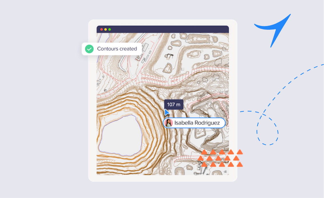
Orthomosaics: correcting for distortion
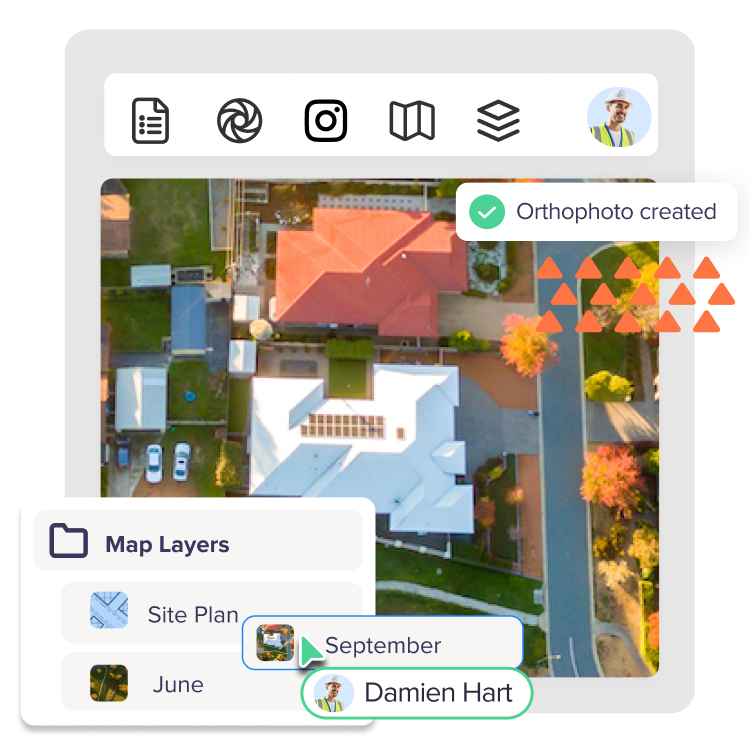
An orthomosaic is a large, high-resolution map created from multiple aerial images stitched together. One of the key features of an orthomosaic is that it’s geometrically corrected, meaning distortions from camera angle, terrain, or elevation changes are removed. This results in a map where measurements can be taken with high accuracy.
Orthomosaics can be accurate down to a few centimeters, depending on factors like flight altitude and whether GCPs are used. They’re commonly used in applications that require detailed 2D mapping, such as land surveys, construction site planning, or monitoring agricultural fields.
DEMs: Mapping the terrain
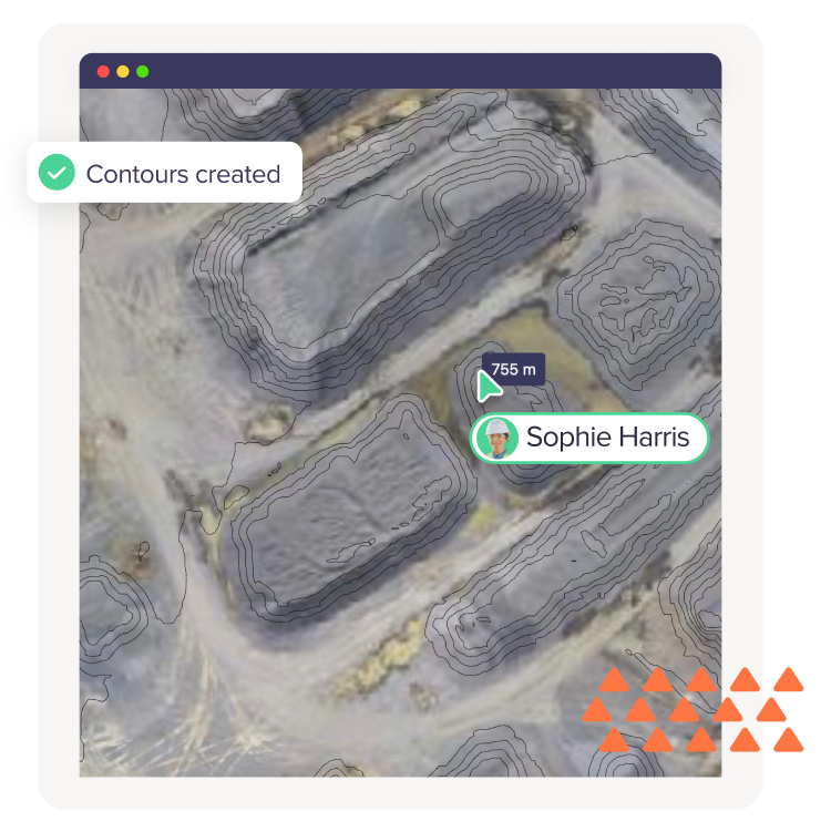
A Digital Elevation Model (DEM) represents the terrain's surface and is essential for understanding the topography of an area. DEMs are especially useful in industries like mining and construction, where slope stability, drainage patterns, and terrain elevation play a critical role in decision-making.
The accuracy of a DEM depends largely on the resolution of the drone’s camera and the processing software used. When GCPs or RTK technology are employed, DEMs can capture even the smallest elevation changes, providing detailed insights into the terrain.
Point Clouds: Precision in 3D
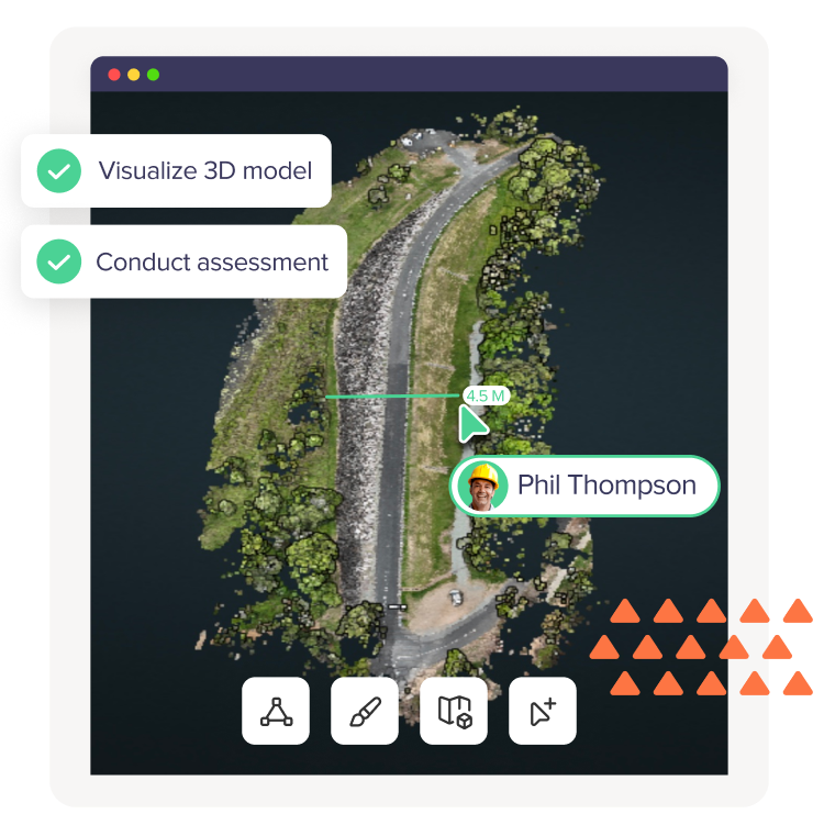
Point clouds are 3D representations of an environment, made up of millions of individual points. Each point has X, Y, and Z coordinates, which can be used to create highly accurate 3D models of landscapes, structures, or other features. Point clouds are particularly useful in applications like volumetric measurements, structural analysis, and terrain modeling.
The precision of a point cloud depends on factors like flight speed, altitude, and whether or not GCPs or RTK positioning are used. However, even without GCPs, drone-captured point clouds can achieve impressive levels of accuracy, often within a few centimeters.
Factors that improve accuracy
If precision is critical for your project, there are several steps you can take to improve the accuracy of your drone data:
- Use GCPs or RTK/PPK technology: Ground Control Points provide a real-world reference for your data, tying it to precise coordinates, while RTK and Post-Processed Kinematic (PPK) systems correct GPS errors either in real-time or after data capture.
- Fly at lower altitudes: Flying closer to the ground allows for higher-resolution data capture, which can improve accuracy in both 2D and 3D outputs.
- Ensure consistent lighting conditions: Bright sunlight or harsh shadows can affect the quality of the images captured, so choosing overcast days or flying at times of day when lighting is more even can help improve results.
- Choose the right drone and sensors: Higher-quality drones with advanced sensors and stable flight controls will produce more precise data.
Reliable data for confident decisions
The accuracy of drone data can make all the difference in projects that require high precision. Outputs like orthomosaics, DEMs, and point clouds provide incredibly detailed insights, enabling you to make better, more informed decisions in your industry. Whether you're monitoring stockpile volumes, assessing terrain stability, or planning a construction site, the right approach to data capture and processing can ensure you get the precision you need.
By understanding the factors that affect drone data accuracy and applying best practices, you can confidently rely on your geospatial data for critical decisions.